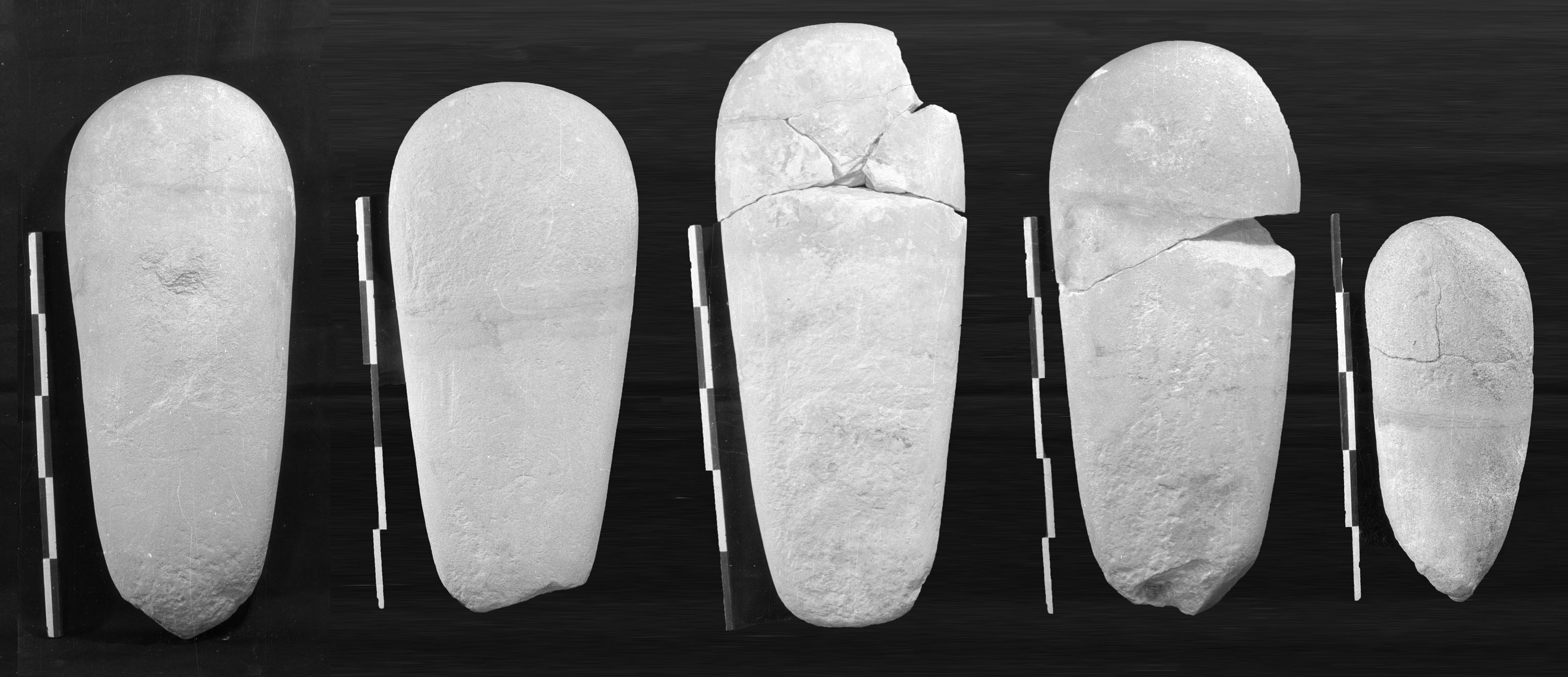
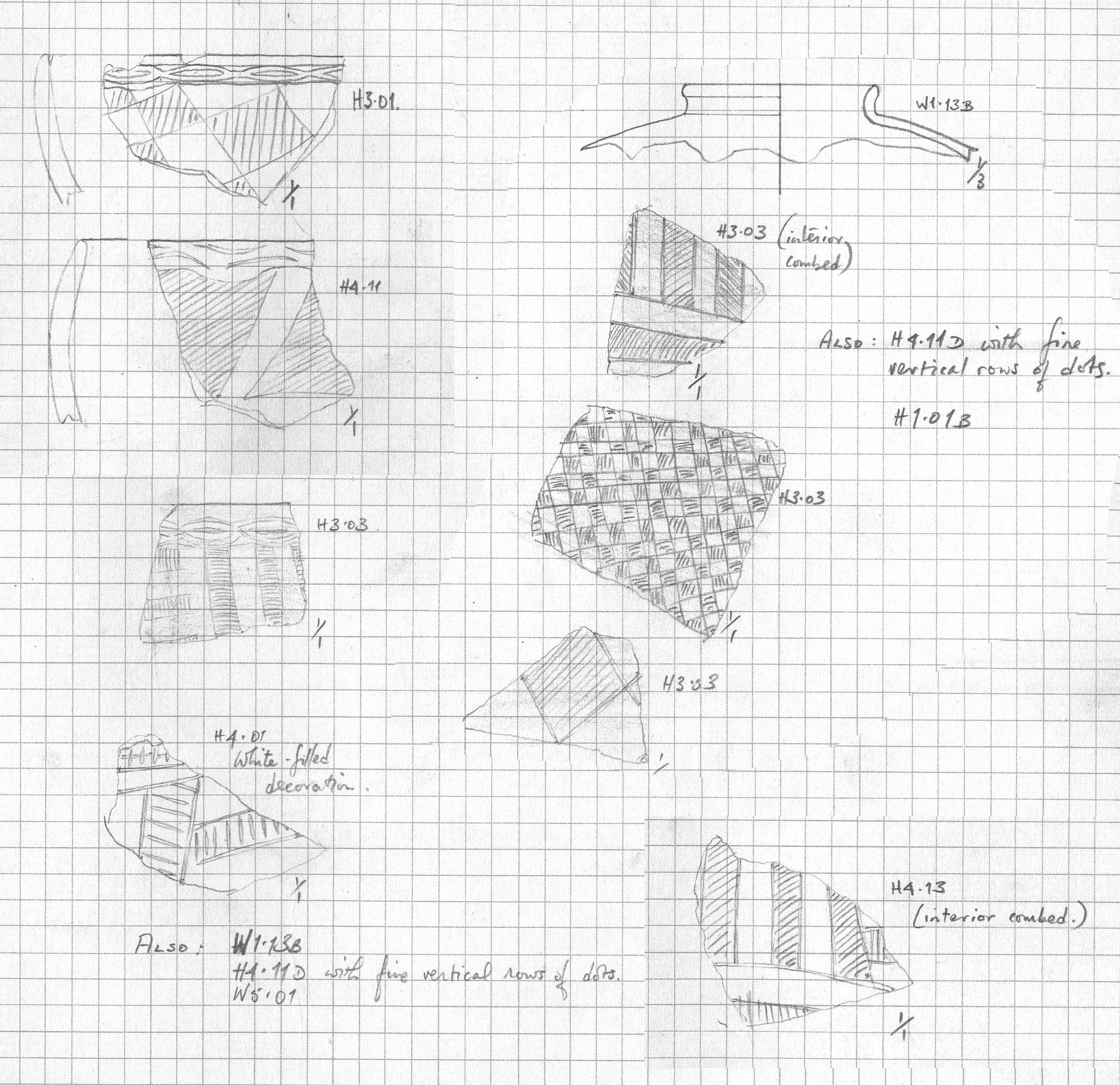
The site is located on the large plain of fossil alluvium at the north end of Dal West, c.800m from the river bank. This area remains undisturbed by modern agriculture or settlements, the nearest being c.3.5km upstream. The site was estimated to cover an area of c.40m x 30m, of which c.15-20% was cleared during test excavations in 1968. Surface clearance revealed 30 graves or other features and on that basis the site may have contained c.180 graves. Only five graves (1-5) were excavated, all heavily disturbed. Field observations noted that the graves were generally small, oval and of variable orientation if generally tending towards east-west. While there was much surface stone, no superstructures survived, although small white quartz pebbles were commonly found in the upper fills of graves. One distinctive feature of the excavated graves was the presence of c.20 sandstone ‘stele’, a common feature of Early Kerma burials (in areas where sandstone was locally available). Sherds from the site included much material with incised decoration, as often found at Early Kerma (and early ‘C-Group’ ) sites, as well as occasional sherds of imported Egyptian vessels.