The landscapes of the ‘Batn al-Hajar’ [the belly of stones’] were striking – mixing granite, sandstone, sand and Nile. While the ASSN photo archive is largely black and white, we hope to add a range of images here. We are grateful for these images from Reinhard Huber, who participated in the excavations at Akasha East in the late 1960s.
 Two views of the village of Akasha in the late 1960s (photos courtesy of Reinhard Huber)


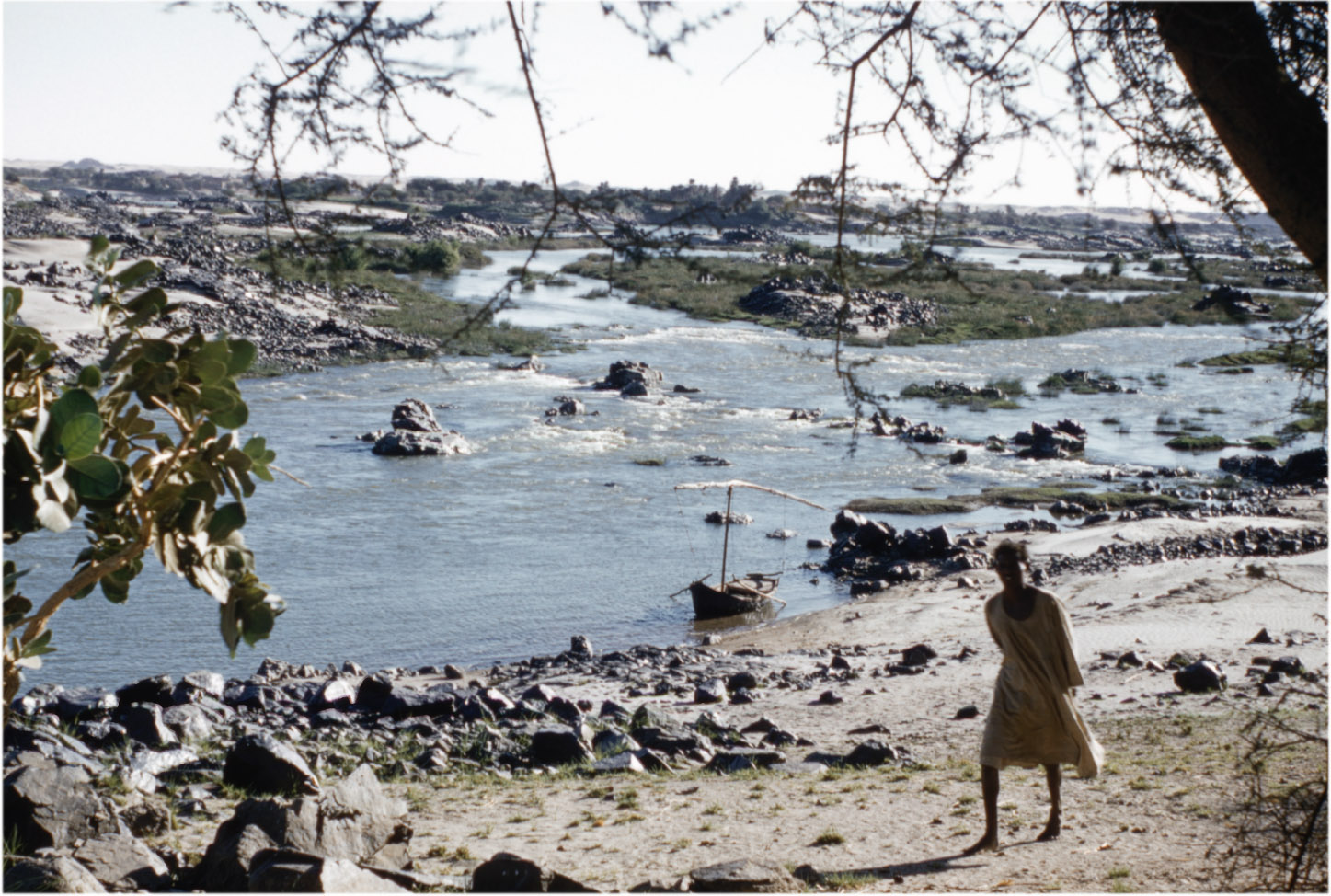
The view towards the Semna cataract from a few miles downstream in 1965, looking towards SW (photo ASSN F323:10)

The north end of the ASSN survey was at the upstream end of the Second Cataract, around Gemai (Jemey). This series of photos, around the northern end of the cataract on the east bank, were taken in 1959.


By 1959 the existing Aswan Dam had already raised water levels throughout most of Egyptian Nubia with the loss of most low-lying land. Many villages were relocated in the 1930s, and an earlier Archaeological Survey had explored the area from Wadi es-Sebua to Adindan, on the Sudanese frontier (published in Emery and Kirwan 1935).
