This site was located on the largest plain of fossil alluvium at Dal East. It lay c.500m from the river bank and c.100m from the hills which enclosed the north end of the alluvial plain. The river bank near here was used in various periods as a landing point for river traffic, where boats had to traverse the rapids of the Dal Cataract, upstream. A modern road/track ran across the site, and it seems likely to have lain close to any land route along the east bank of the river in Meroitic times.
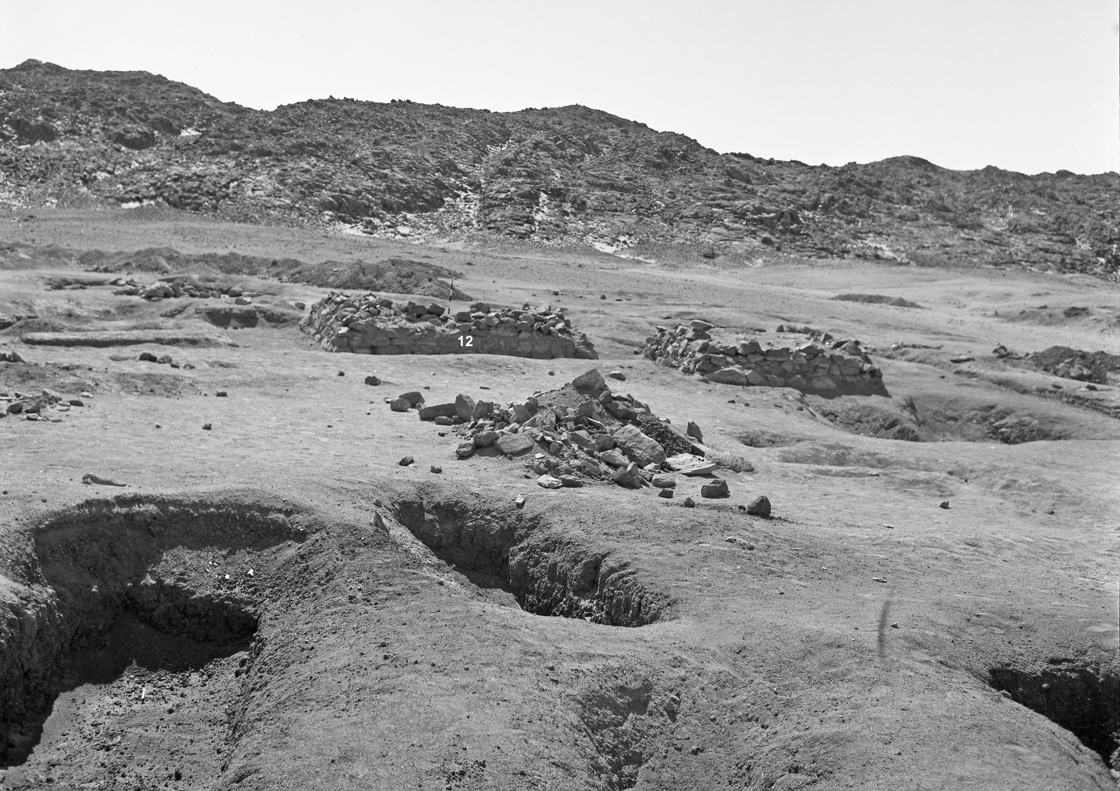
Parts of the site closest to the river were initially tested during the reconnaissance survey in November 1964. Preliminary inspection estimated that the site held c.35 graves, mainly oriented east-west and probably medieval. Two graves (1-2) were excavated. The site was returned to in February-March 1968 where further survey established that it was a much larger site with c.190 graves spread over an area of about c.260m x c.70m. A further 13 graves were excavated. The surface of the fossil alluvium was quite uneven and undulating, heavily scoured by rain. There is very little bone and almost no sherds on the surface. At the south west side of the site were four round tumuli (c.10m diameter), which appeared to cover early medieval (east-west) graves. At least 100 of the graves were thought likely to be of Meroitic date, and some may well have been of Napatan/Dynasty 25 date, although no Napatan pottery was found. At least at 25 graves had surviving elements of pyramid/mastaba superstructures (see above) , and it was suggested that there may originally have been as many as 50, in a number of distinct groups. The other graves, especially towards the northwest of the site, appeared to be of medieval (Christian) date.
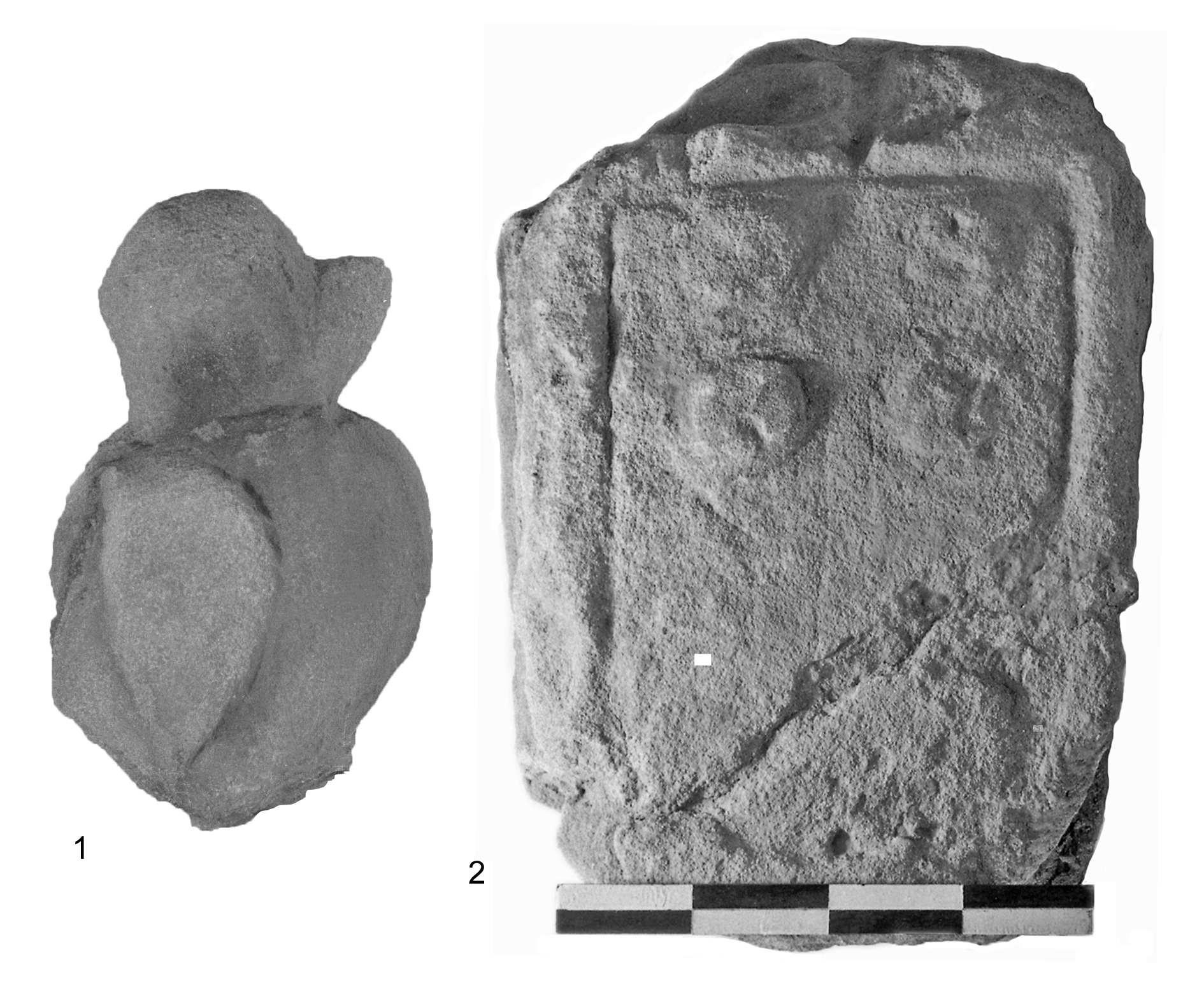
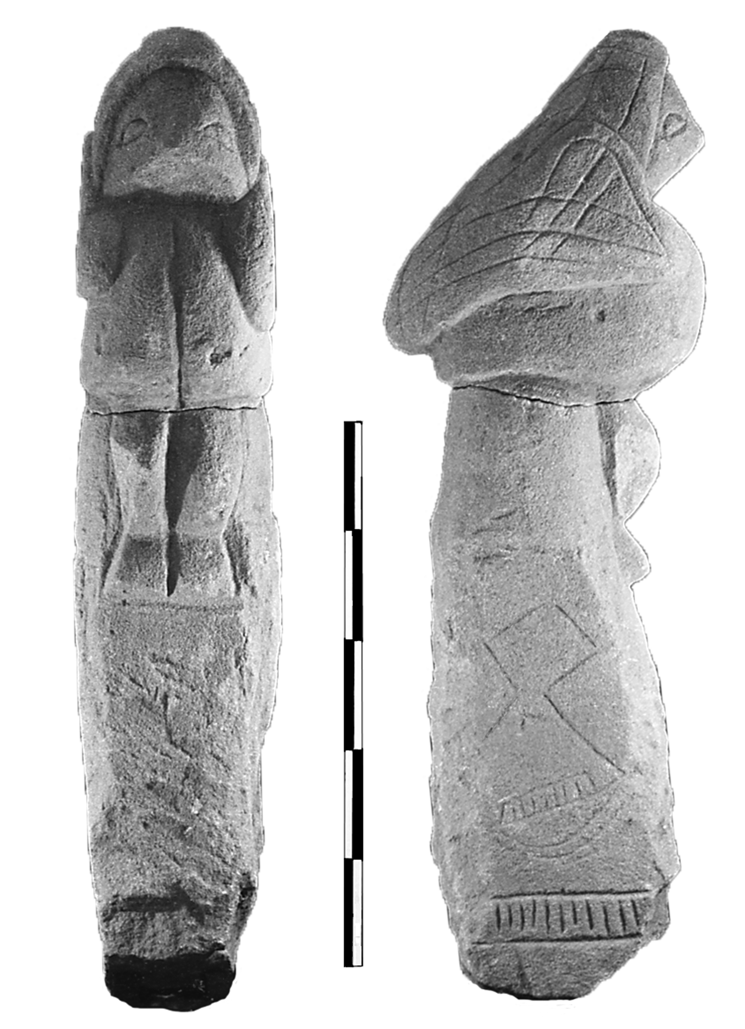
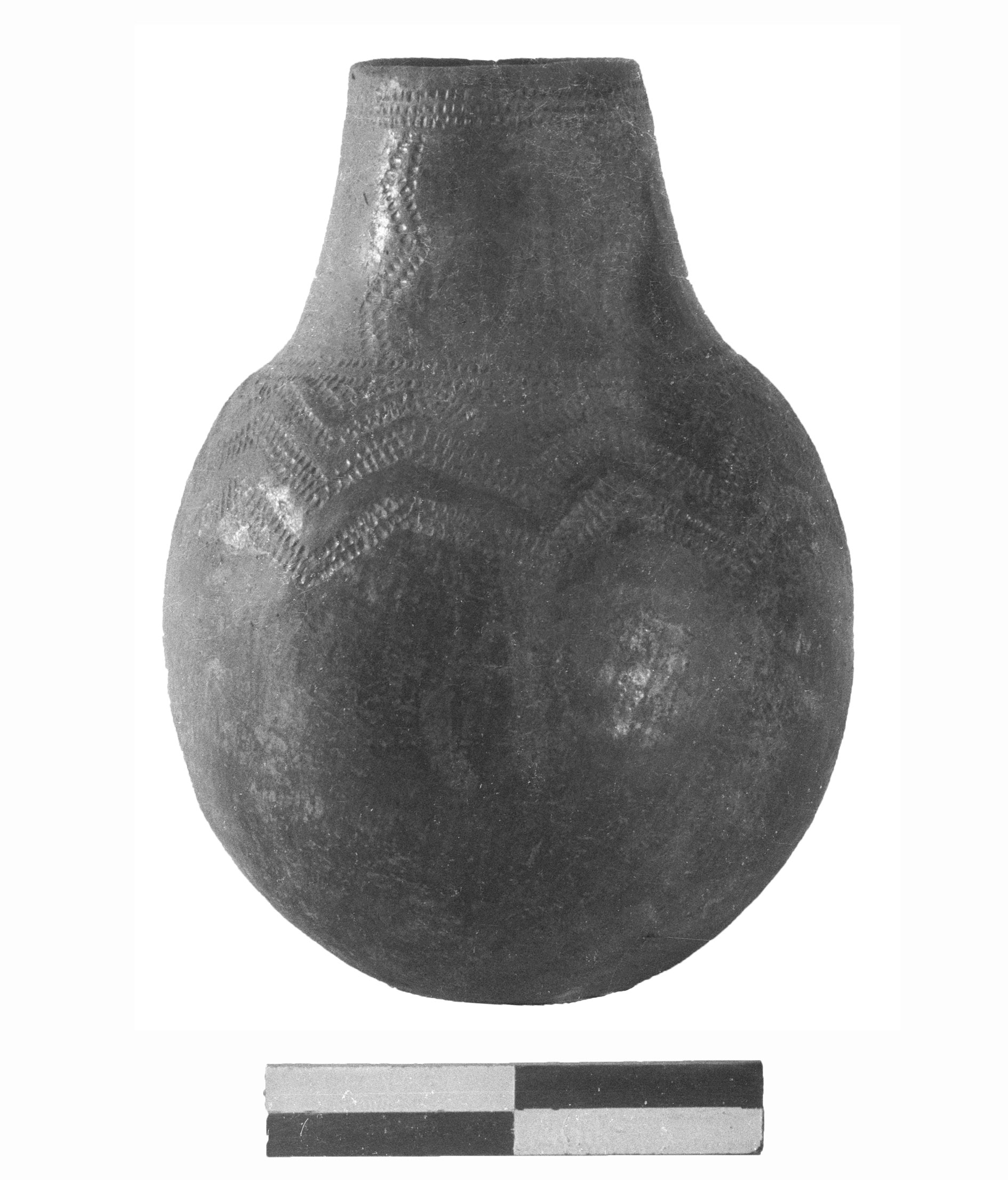
A few Meroitic wheelmade and handmade pots were recovered from some robbed graves, as well as some very eroded offering tables, as well as some fragmentary ba-statues (see below).