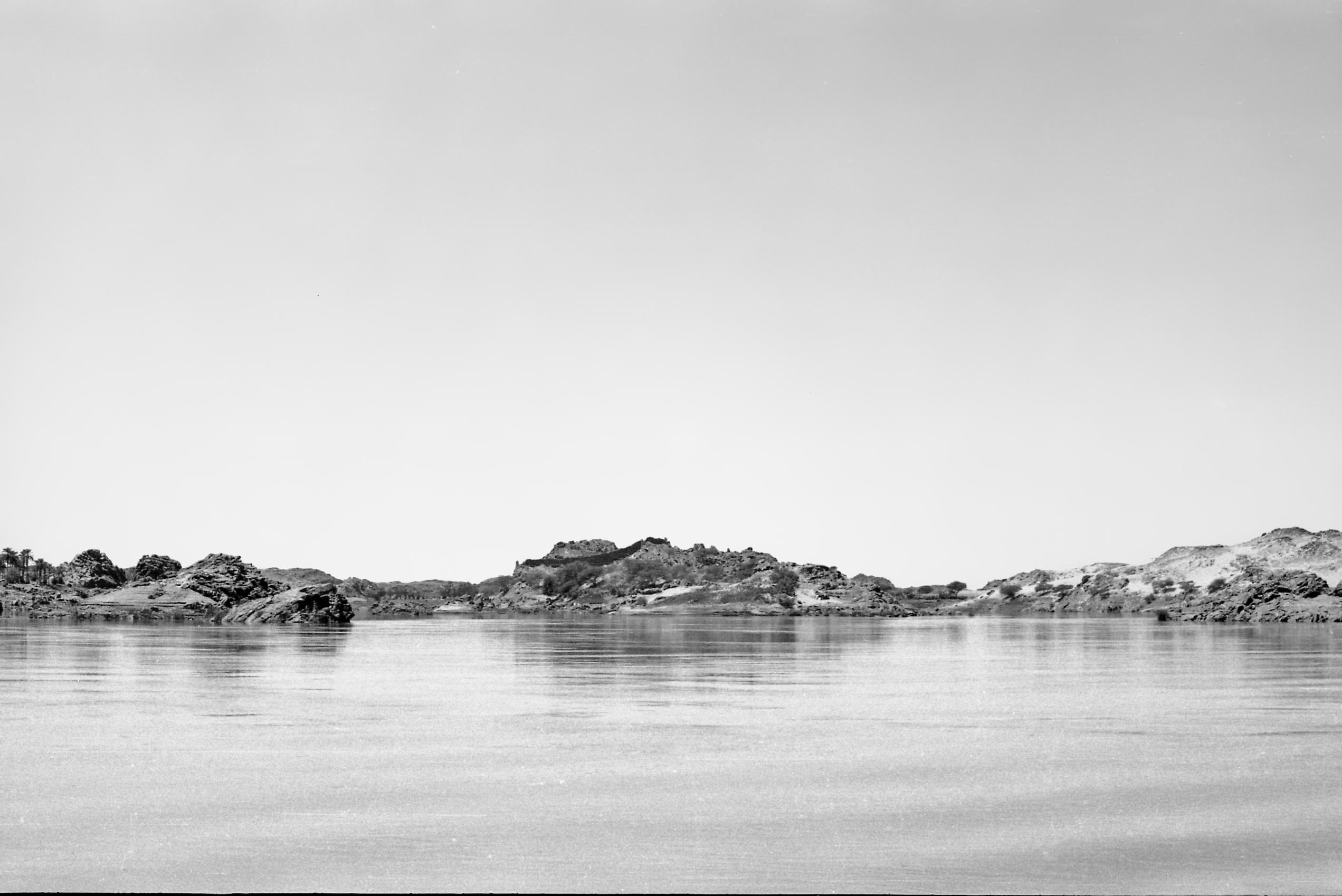
A little upstream of Ambikol, a narrow rocky ridge formed the island of Sunnarti (also known as Sunarnarti or Susinarti). The site was visited by Neville Chittick in January 1955 and a brief description and sketch plan published of the unusual stone-built ‘fortifcation’ towards its downstream end.

The site was visited in March 1964 during the ASSN reconnaissance and noted as meriting further investigation. In early 1967 the site/island was among a number of medieval sites allocated to a (West) German mission for further investigation. Some brief reports and a site plan were subsequently published. While some ‘Early Christian’ occupation was identified on the island, ceramic evidence suggested ‘Classic Christian’ and later medieval occupation of this site, albeit with some even later (likely post-medieval) episodes of reoccupation, marked by stone huts as well as brick buildings within the stone enclosure. Towards the west end of the island a further small building was excavated which proved to be a small church (now provisionally identified as 16-W-5*]

The ‘fortification’ comprised a large well-built enclosure wall of dry stone construction, in places >2.25m thick and standing >3m high. Within were c.20 rooms built in rough stone, some with mud-plastered walls, surviving >1m high as well as at four structures built largely of mudbrick, surviving to more than 2m high. Some good examples of decorated ‘Late Christian’ pottery were recovered from the site. It was noted that some of the well-preserved brick structures seemed likely to be significantly later than the original fortification. Rather similar brick buildings can now be recognised at a number of island sites within the Batn al-Hajar, as further south, and appear to relate to a phase of post-medieval occupation.


